Friday, June 17, 2011

In the Eurozone

IMG_8175

"So you are telling me that this euro coin was originally minted in Spain and the other euro coin was minted in the Netherlands and somehow these two coins have travelled to Germany and are meeting for the first time in the hand of a random Singaporean who has also somehow travelled to Germany."

"Yeah."

Thursday, June 16, 2011

Brandmauer

IMG_7110

All over Berlin there are buildings which end abruptly with huge walls that have no windows or openings - these are referred to as "brandmauers".

IMG_8094

Huge blank brandmauer where Anklamer Straße meets Brunnenstraße

IMG_8096

Empty lot next to the brandmauer


View Larger Map

Aerial View of street corner (showing the empty lot)

The area of Prenzlauer Berg where I am staying at the moment is described to have remained fairly intact from the bombing, as well as having escaped any significant post-war redevelopment, so it is quite uniformly populated with beautiful old five-storey buildings (largely built in the late 1800s or early 1900s). But even the house we are staying on Senefelderstraße has a brandmauer - there are no windows on one facing of the flat although there is nothing next to it, because there once would have been a building sitting right next to it. Living in such a house, one might say, "a pity, imagine if there could have been windows!" - but of course no one really means to build buildings with entire facings without windows, and the reason for these big flat blind walls and missing buildings in a street is the bombing of Berlin during WWII, which apparently destroyed up to half of all the houses in Berlin between 1943 to 1945.

I found a page that describes why its called Brandmauer rather than Feuerwand (a much more literal translation) - citing that "brennen" is more accurate as it describes a "destructive fire", as opposed to a more benign Lagerfeuer/camp-fire or Kaminfeuer/chimmney-fire; and "mauer" as "masonry" or a stone wall has more of a connotation of "blocking".
[Sidenote 1: A brand can be a feuer, but not all feuers can be brands; Feuer is a more generalised term for Fire]
[Sidenote 2: I suppose the Brandmauer can also be read as the wall that subdivides or separates the buildings to resist the spread of fire, in which case it was indeed successful in keeping all the buildings from destruction]

This only being my first trip to Berlin, one senses that very many years have passed since drastic events that have changed the landscape of the city. At the C-O Berlin I saw an exhibition of Fritz Eschen's black and white photography of post-war Berlin, which documents Berlin's devastated post-war state (the wall text seems to want to emphasise that as a berliner he documents it without pandering to self-pity or sentimentality - no point shedding tears; its all people trying to get on with their lives).

Fritz Eschen

I am always surprised to think of how recent it is. Just a few weeks ago in May I read that the last known surviving WWI veteran (who had also served in both world wars) had finally died, but it brings to my mind that there will still be many older people living today who will have some memory of WWII (and so, how long will it be before the last surviving witness to WWII dies?).

While hopping around trying to take photos of Brandmauers after first being told what they were, I realised for me I am less interested in the images of brandmauer (for they could also mean nothing to foreigners, and there have been so many intervening years since that have altered the city), and I am more interested in the idea that there are people out there who will have known the city before it had buildings destroyed and removed, to leave these gaps. And, people wondering what could have been behind the brandmauer...


View Larger Map

Wednesday, June 15, 2011

Internationale Kartoffelküche

IMG_6832

lost in translation

Despite not being able to read German, I was still on the lookout for Cartography/Topography-related books. I saw this particular title that looked rather promising at the time... it said "Internationale Kartoffelküche" on the spine, and it seemed reasonable to expect that anything starting with Karto- might be the german equivalent for the cartography-related terms.

Unfortunately, that was when I learnt that Kartoffel meant potato.

"WHAT? ITS A BOOK ABOUT INTERNATIONAL POTATO DISHES?? NOT AN INTERNATIONAL MAP BOOK???"

Tuesday, June 14, 2011

Critical Cities - Erase, Stretch, Relinquish


I picked up this book at the Whitechapel Gallery bookstore the other day. Still reading it but find it pretty fascinating as a number of the points of discussion are focused on the rapid developments in Dalston area as Hackney is one of the host boroughs for the Olympics next year. Admittedly I am biased towards it as I have a particular fondness about Dalston, having once lived on Shacklewell Lane in the past.

IMG_6114

"149, to, Edmonton green"

That said, I was glad this time around to see that Dalston still generally looks pretty much the same to me after two years of not being there. And the new tube line is most excellent, taking us to South London in a jiffy! When I saw that advertisements were selling the studio apartments near Dalston Square were even being advertised back in Singapore on the Straits Times, it was obvious that these new properties were built only as investment options rather than actually expecting people/investors to move there and live in it. Which made me wonder if it was being irrevocably changed...

One of the interesting recurring phrases used in the book is: "Erase, stretch, relinquish" - which describes the sad phenomena of how completely "erasing" a site is often easier than trying to work out a solution which can accommodate all the parties in the decision-making process. After "erasing" the site, the main prerogative of developers would then be to maximise or "stretch" all the aspects of the site, whether it be plot ratio or programming, in order to "stretch" profit margins for all investors involved. Finally, when all the people have made their money and the profit has been rung dry from the land, everyone and the council struggles to explain why everything went pear-shaped but nothing can be done anymore and eventually people in the community "relinquish" or "resign themselves to the fact that their neighbourhood will never be what it could have been."

When I was first in London back in 2007 I was actually excited about having seemingly moved to A REAL CITY, and to be honest, this is also what started my interest in cities, built environments, psychogeography, etc. Not that singapore is any less of an urban city, but, there the buildings are demolished and rebuilt with such alarming rapidity, and the slate is wiped clean so often that any attempts to leave traces or signs in the city prove completely pointless...


Sometime in 2008 I went mad one late night and walked down Kingsland Road leaving little signs of Hulk Dash all along Kingsland Road. A friend found a picture of one of the funny signs I had made (photographed by another user on flickr), and sent it to me.

hulk dash 2 years on...

About three years later, traces of it can still be seen. Aw bless. It is almost like the city still remembers...

Lines

Recently while at a friend's house in London, I read parts of Tim Ingold's book about the anthropology of the line. One of the works featured in the book was Richard Long's A Line Made By Walking (1967), which consisted of the artist walking back and forth in the grass in a straight line in the English countryside, which eventually left behind a path.


Richard Long - A Line Made by Walking

Another thing I saw in the book was the Chutchi map of the underworld, which consisted of interesting swirly wormholes indicating where souls entered the underworld and apparently wandered constricted by the lines which they could not see - thus forming some manner of an invisible hell that one could not escape.

Underworld

(Right page) "Chutchee maps representing paths in the world of the dead"

I like this idea of lines that cannot be seen which still define our travels through spaces or across territories. And this is where this project begins.

dream syntax / dream maps

From 2008-2010 I was collecting my dreams in the form of hastily scrawled maps (replete with lines indicating the path of motion within the dream space), with the idea that I would one day piece together a massive interconnected map of these maps to form a giant dreamscape. A dream world.

As dreams are highly visual, I felt that the only way to adequately document my dreams would be to draw maps of the spaces. At the time when I began the project I was inspired by Bill Hillier's theories on "space syntax", which suggested that the navigability of a space and its isovists (the field of view from any one point) had direct affect over social behaviour within those spaces. Since humans spend about a third of their lives sleeping and presumably dreaming (whether or not we remember our dreams), I believe that the dream spaces we experience may also play a significant role in shaping our behaviour in waking life.

Earlier this year, a friend who grew up in Cornwall noted that all my maps had buildings in them, which was also a reflection of how all my dreams had buildings in them. They could only have buildings in them because I had always lived in a big city. And it could also be said that my maps were less like maps and more like floor plans. My dream maps were focused on the imagined spaces within the imagined buildings, even though I sometimes traced out a line which indicated my passage through that imaginary space.

But what if there were no buildings? One could still navigate through space, through dream territories all the same. But how would I map it then?

example_of_maps

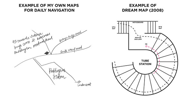
Difference between Journey Maps and Floor Maps

Another thing was that I realised that I didn't draw the same types of maps sketches for daily navigation - I just drew lines to indicate the path I would have to take. The use of daily maps was for me to get to a destination, and while interior building maps were fine and good for illustrating spaces, they were not that useful for navigating with. It was as if the spaces did not exist without the buildings - but very many paths and roads do exist without the crutch of buildings around them.

Cornwall

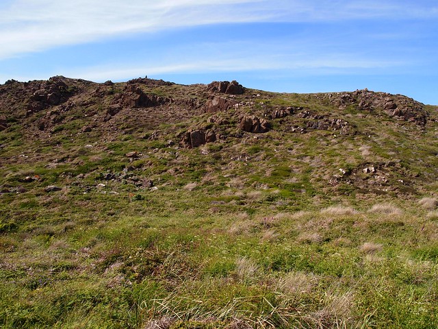
Kynance Cove, Cornwall.

P6041215

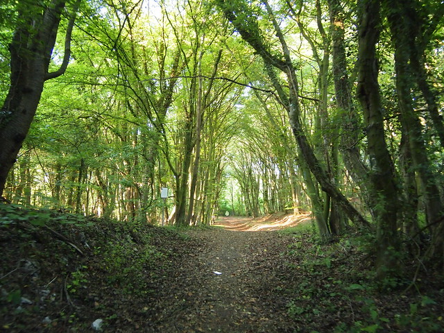
Lengerich, North Rhine-Westphalia.

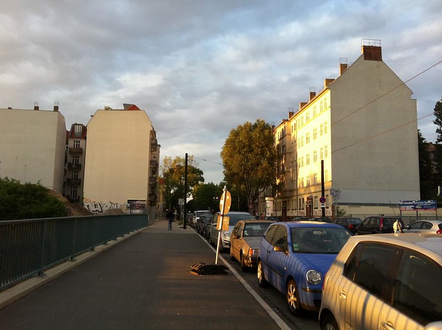
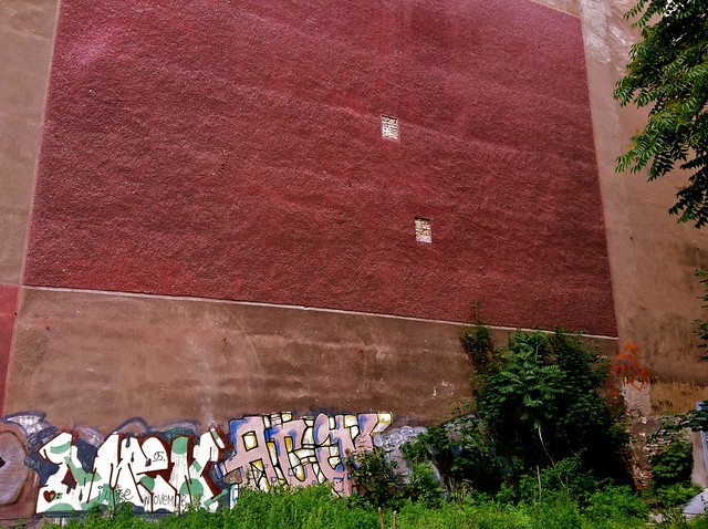
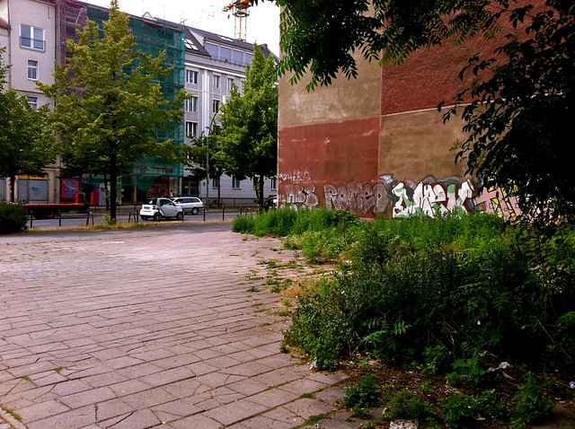
Travelling between city and countryside within the UK (London/Cornwall) and Germany, (Berlin/North Rhine-Westphalia), I thought it might be a good time to collect maps and explore the handdrawn map-making process.

More on that in the posts to come...